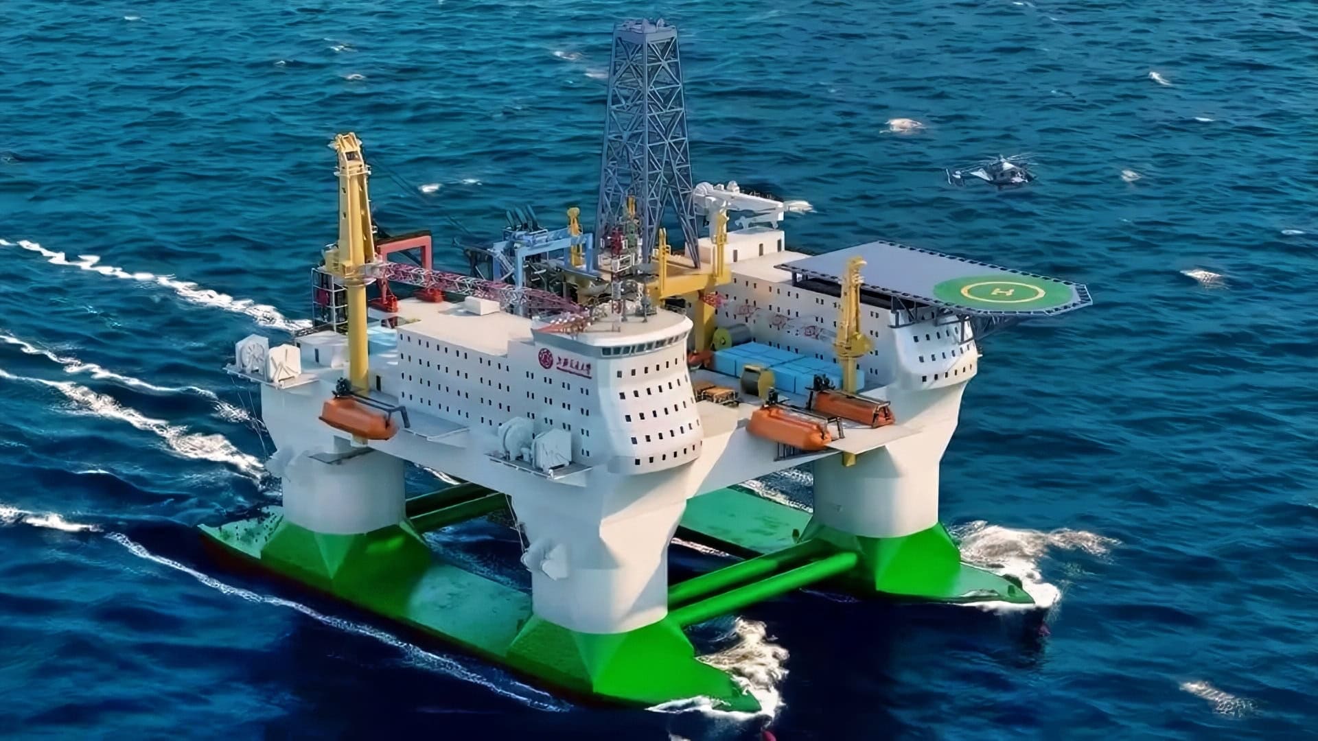
China is developing the “Open-Sea Floating Island,” the world’s first large-scale, all-weather mobile floating platform for deep-sea research, scheduled to be operational by 2030.
Developed by Shanghai Jiao Tong University, this 30-story, semi-submersible facility can operate in extreme weather, testing heavy equipment and conducting scientific studies at depths up to 10,000 meters (32,800 feet), about 6.2 miles.
The Massive Floating Research Island
Called the Deep-Sea All-Weather Resident Floating Research Facility, or “Open-Sea Floating Island” for short, the names just about say it all. Designed to be in the style of an offshore oil rig, the platform will be closer to a “floating island in the open sea” than a traditional research ship, China’s CCTV reported.
The floating device, which is both a platform and a boat, can move at full speed on the sea surface or remain stationary for extended periods in the open ocean.
CCTV added that, “The shipborne laboratory system serves as a platform for conducting research in marine equipment, marine meteorology, and marine science.
“It comprises six shipborne laboratories, including those for marine heavy equipment and system technology, marine disaster meteorological observation and research, and marine underwater physical environment, as well as one offshore operations support center.
“The shore-based support system is a land-based base and command and control center that ensures the daily operation and maintenance of deep-sea facilities and offshore operations. It mainly undertakes telemetry, tracking and control, operation and maintenance, material supply, and maintenance support.
The massive research island has a displacement of about 86,000 tons (78,000 metric tons) and can accommodate up to 238 people for roughly four months without resupply. The Chinese expect the overall project to be completed around 2030.
China says that one of the primary benefits of the platform is improved typhoon forecasting, along with stronger disaster prevention and mitigation. But the primary use may be for military applications, specifically in a war against the United States and its allies.
China Mapping The Sea Bed For Future Conflicts:
The true purpose of the research vessel may be military. A Reuters years-long investigation points to the Chinese Navy (PLAN) mapping out the seabed across the Pacific, Indian, and Arctic oceans.
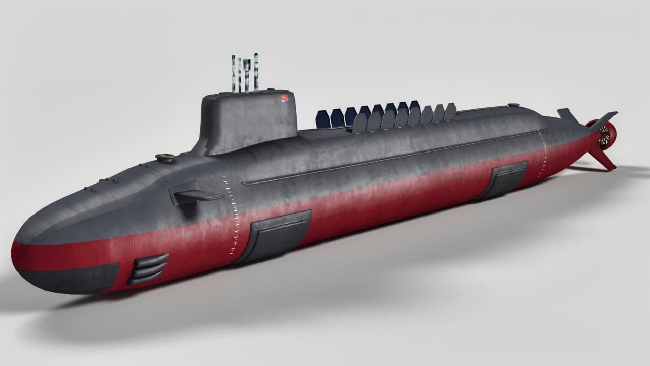
Type 096 Submarine from China. Image Credit: Creative Commons.
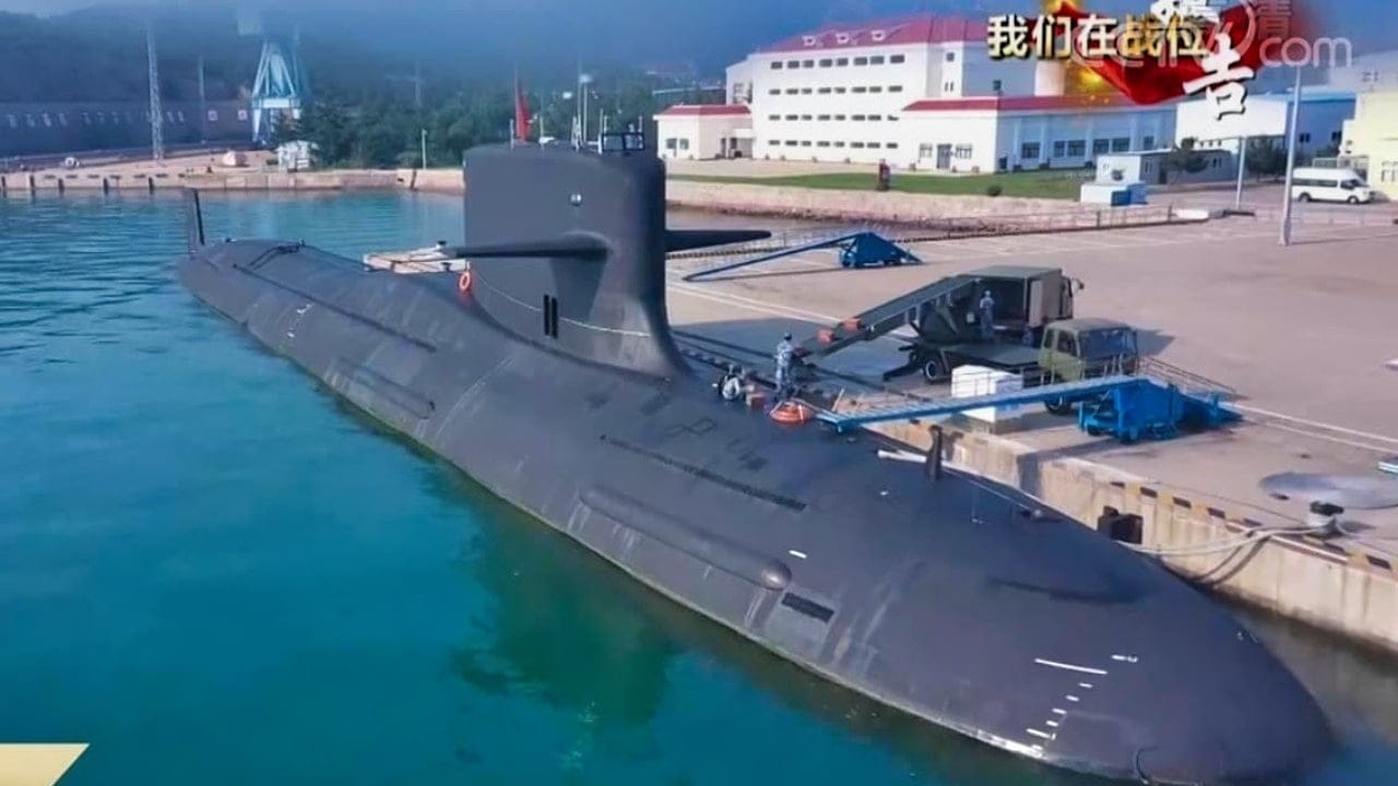
Type 093B Submarine from China. Image Credit: Screengrab.
Naval analysts agree that such activity could also help prepare for undersea conflict.
Utilizing dozens of research vessels, this campaign is collecting detailed seabed data to enhance anti-submarine warfare capabilities and improve navigation for Chinese submarines.
The operations focus on strategically significant areas, including near Taiwan, Guam, and Japan, as well as key maritime choke points, raising concerns among experts about the potential to track US naval vessels.
Surveys cover areas crucial to maritime trade and military power projection, including the Indian Ocean (oil routes), the Arctic, and areas near US military bases.
Military Applications Are Clear:
The data collected enables China to understand ocean conditions (oceanography) and map seafloor topography, which are essential for detecting foreign submarines and hiding its own.
The operation has definite civil-military fusion. While officially described as scientific research—such as identifying fishing zones or surveying mineral resources—the mapping is deeply integrated into China’s military modernization, with data flowing to naval planners.
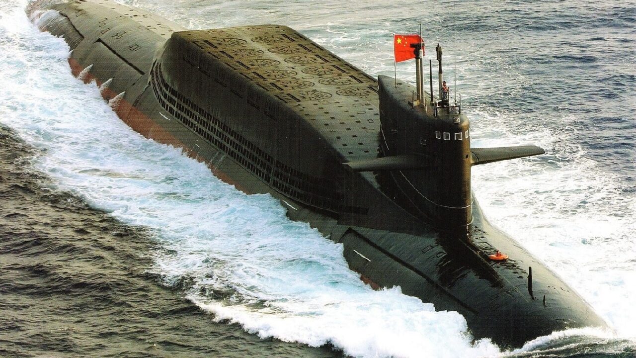
SSBN China Submarine. Image Credit: Creative Commons.
Research vessels like Dongfang Hong 3 use advanced, repeated grid patterns to create high-precision, 3D underwater maps, often operating near sensitive U.S. and allied naval operations.
Ship tracking data shows that the vessel spent 2024 and 2025 sailing back and forth in the seas near Taiwan and the U.S. territory of Guam, and around strategic stretches of the Indian Ocean.
China’s research vessels have conducted seabed surveys near the Philippines, Wake Island, and Hawaii.
The scale of the effort is significantly enhancing China’s knowledge of the maritime domain, challenging the long-standing undersea superiority of the U.S. Navy in these regions.
Mapping The Malacca Strait, A Key Chokepoint In the Pacific
The Malacca Strait is one of the world’s most vital maritime choke points, as it serves as the primary shipping lane connecting the Indian Ocean to the Pacific Ocean.
The strategic waterway carries approximately 25 to 30 percent of global traded goods and more than 35 percent of the world’s oil shipments, making it essential to the economies of China, Japan, and Southeast Asia and an even more important oil chokepoint than the Strait of Hormuz.
At its narrowest, the strait is just 2.7 km (1.67 miles) wide; the 900-km shipping channel has a minimum depth of approximately 25–27 meters (82–90 ft) at its shallowest points. It gradually deepens to about 200 meters (660 ft) toward the northwest. These shallow spots often restrict the passage of the largest cargo vessels.
Indonesia was said to be considering charging “a toll” for cargo vessels passing through the Malacca Strait.
This Goes Well Beyond Resources:
“The scale of what they’re doing is about more than just resources,” Jennifer Parker, an adjunct professor of defense and security at the University of Western Australia, told Reuters.
“If you look at the sheer extent of it, it’s very clear that they intend to have an expeditionary blue-water naval capability that also is built around submarine operations.”
The US Navy has also mapped a significant portion of the seafloor for its own submarine warfare and strategic intelligence. In October 2021, the United States Navy’s Seawolf-class fast-attack submarine USS Connecticut (SSN-22) collided with an uncharted seamount in the South China Sea near China’s Hainan Island.

(August 16, 2006) – USS Jimmy Carter (SSN 23) sits moored in the Magnetic Silencing Facility at Naval Base Kitsap Bangor Aug 16 for her first ìdepermingî treatment. The deperming process reduces a ships electromagnetic signature as she travels through the water. U.S. Navy Photograph by MCCM(AW) Jerry McLain (Released)
That collision has sidelined the submarine for nearly five years. A Navy investigation blamed the incident, which severely damaged the bow, on “poor seamanship” and a “lax” command environment, leading to the firing of the sub’s command triad.
About the Author: Steve Balestrieri
Steve Balestrieri is a National Security Columnist. He served as a US Army Special Forces NCO and Warrant Officer. In addition to writing on defense, he covers the NFL for PatsFans.com and is a member of the Pro Football Writers of America (PFWA). His work was regularly featured in many military publications.