
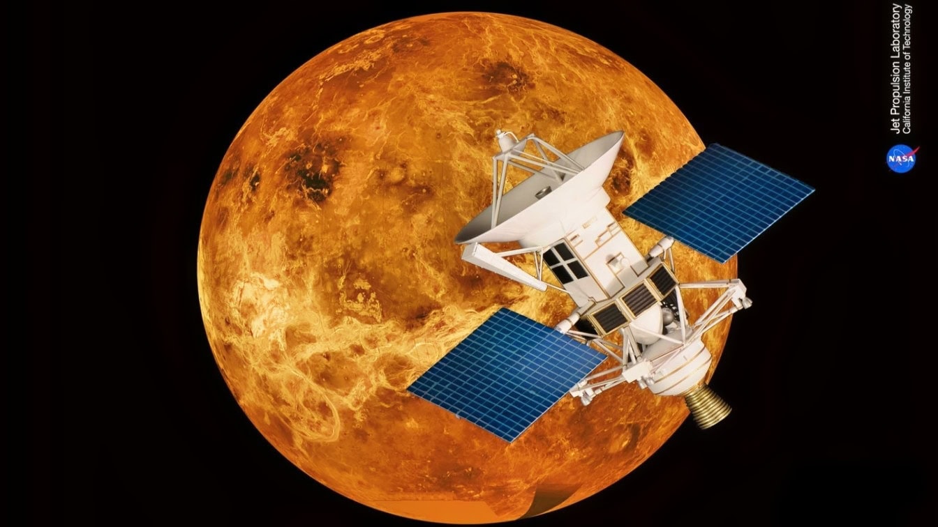
For centuries, Venus remained one of the solar system’s greatest mysteries.
Covered by clouds of carbon dioxide and sulfuric acid, the surface of Venus was completely obscured, preventing even the most powerful telescopes from seeing what lay beneath the cloud cover.
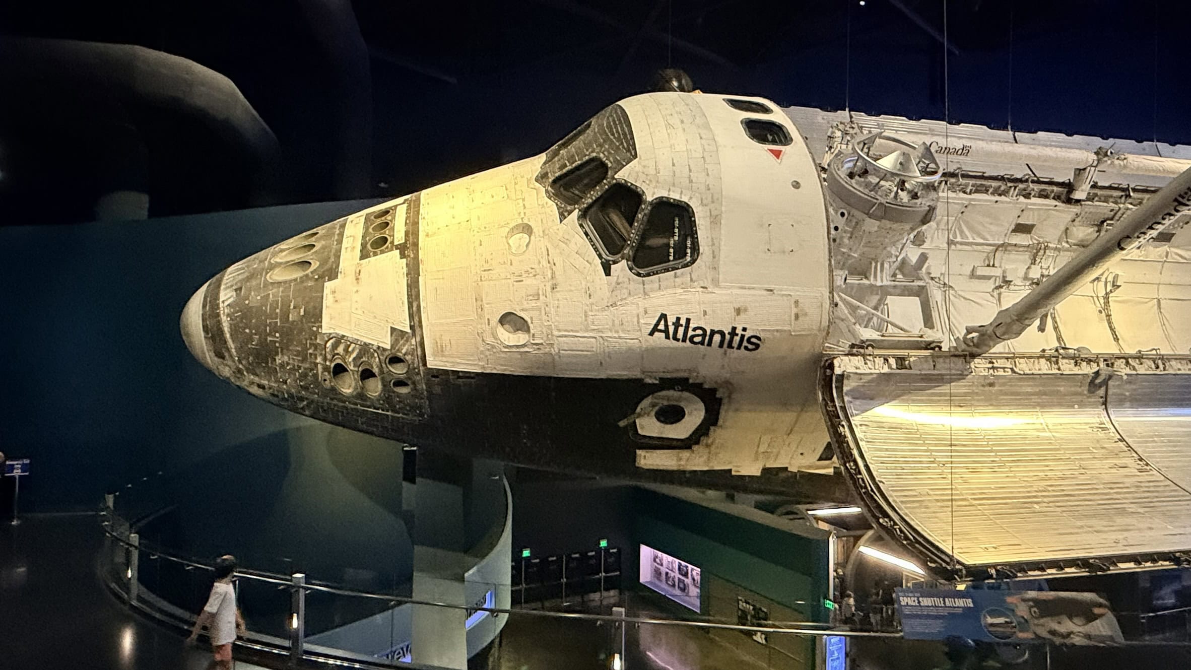
NASA Space Shuttle at Kennedy Space Center. 19FortyFive Image.
That all changed forever with NASA’s Magellan spacecraft.
Launched in 1989 and arriving at Venus in 1990, Magellan became the first mission to produce a near-complete high-resolution map of our sister planet—using radar rather than conventional cameras.
Even today, much of what scientists know about Venusian geology comes directly from Magellan’s four-year mapping effort.
The Spare Parts Spacecraft
Magellan’s origin was more humble than its ultimate purpose would suggest.
Conceived during a period of tighter NASA budgets following a post-Apollo constriction, Magellan was produced on a shoestring budget.
NASA, seeking to cut costs, chose not to design an entirely new spacecraft, but instead assembled it from proven hardware, including Voyager spare components, the Mariner heritage antenna, and Galileo-derived electronics.
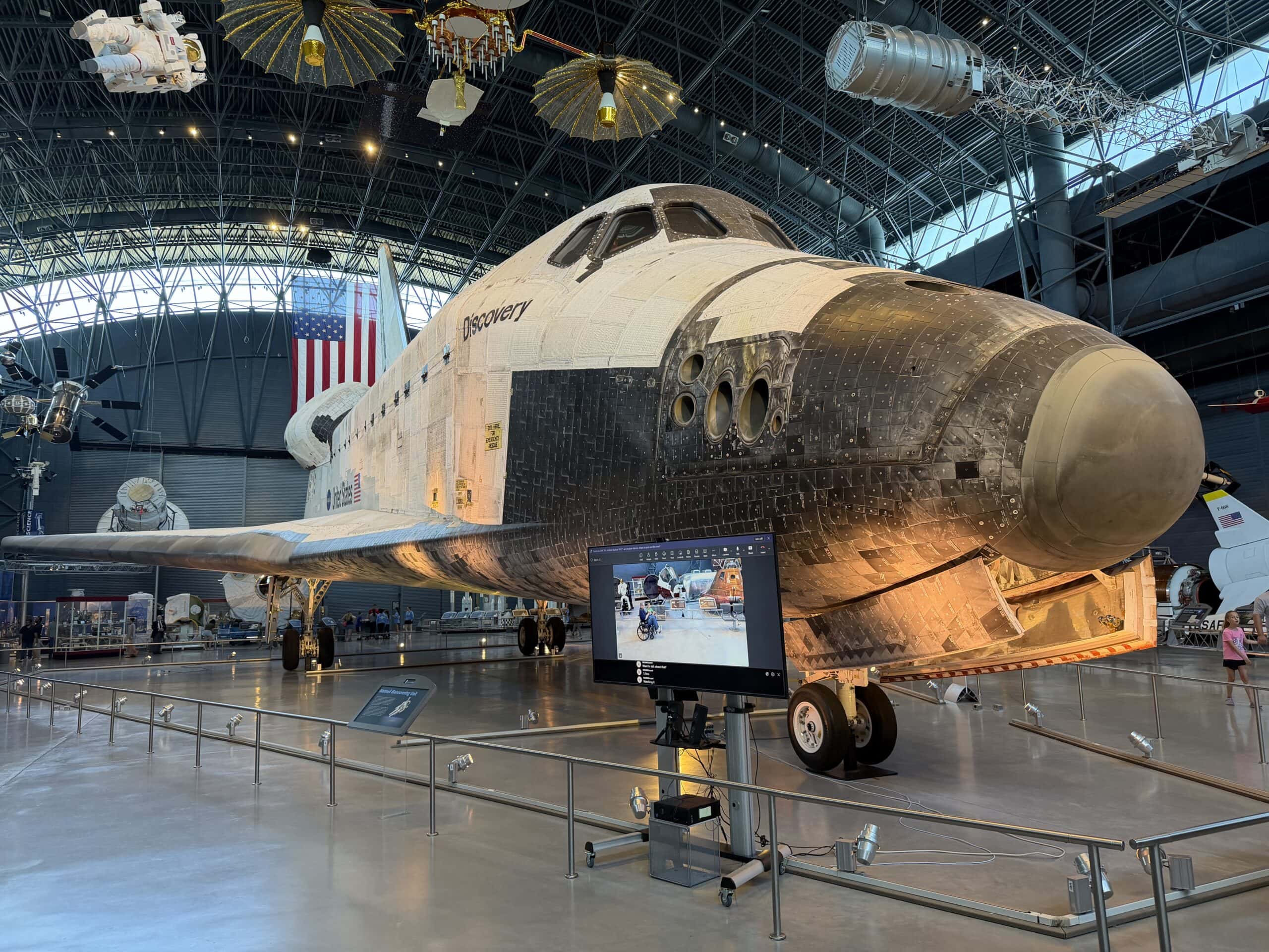
Space Shuttle Discovery at Smithsonian 19FortyFive Photo
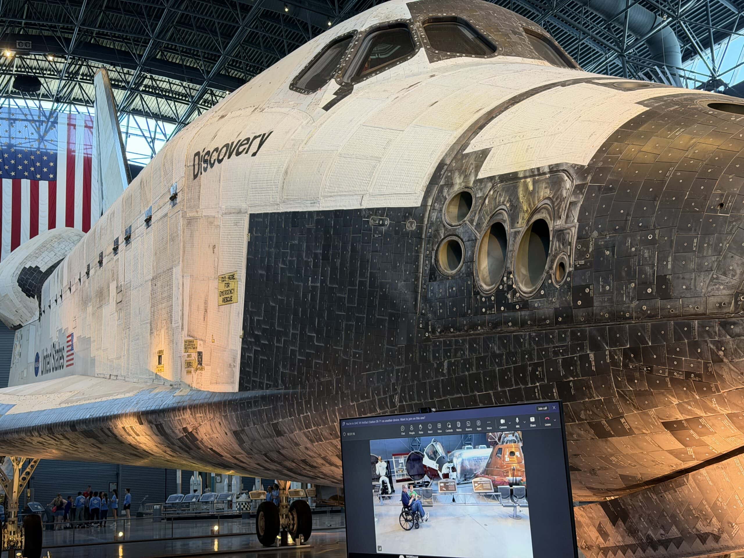
Space Shuttle Discovery at Smithsonian 19FortyFive Photo
Some engineers went as far as to name Magellan the “junkyard probe” because so much of it had been recycled.
Jokes aside, the spacecraft demonstrated how reusing existing technology could dramatically reduce mission costs while also lowering the technical risk associated with unproven tech.
Launching Magellan
Magellan was launched aboard the Space Shuttle Atlantis (STS-30) on May 4, 1989.
It was the first planetary spacecraft deployed directly from the Space Shuttle, using an Inertial Upper Stage to escape Earth’s orbit before beginning a roughly 15-month cruise to Venus.
Arriving at Venus, Magellan finally allowed for proper mapping of our sister planet’s surface.
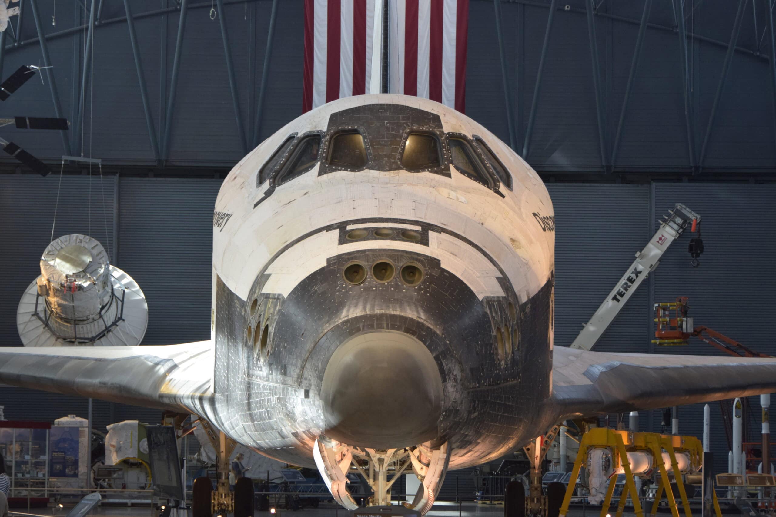
Space Shuttle at Smithsonian. Image taken by 19FortyFive back in 2025.
Traditional cameras have proven ineffective, as Venus is permanently obscured by a dense carbon dioxide atmosphere and thick sulfuric acid clouds.
Visible-light cameras can’t see anything beyond cloud tops.
So Magellan instead relied on Synthetic Aperture Radar (SAR). SAR works by having the spacecraft continuously transmit microwave radar pulses.
The echoes then reflect off the planet’s surface, and onboard computers combine millions of those echo returns.
The result of using a large virtual antenna to track the returns was images roughly ten times sharper than those from previous radar missions.
Notably, the mission entered a three-hour elliptical polar orbit, enabling gradual coverage of nearly the entire planet over multiple mapping cycles. This resulted in the eventual imaging of 98 percent of Venus’s surface.
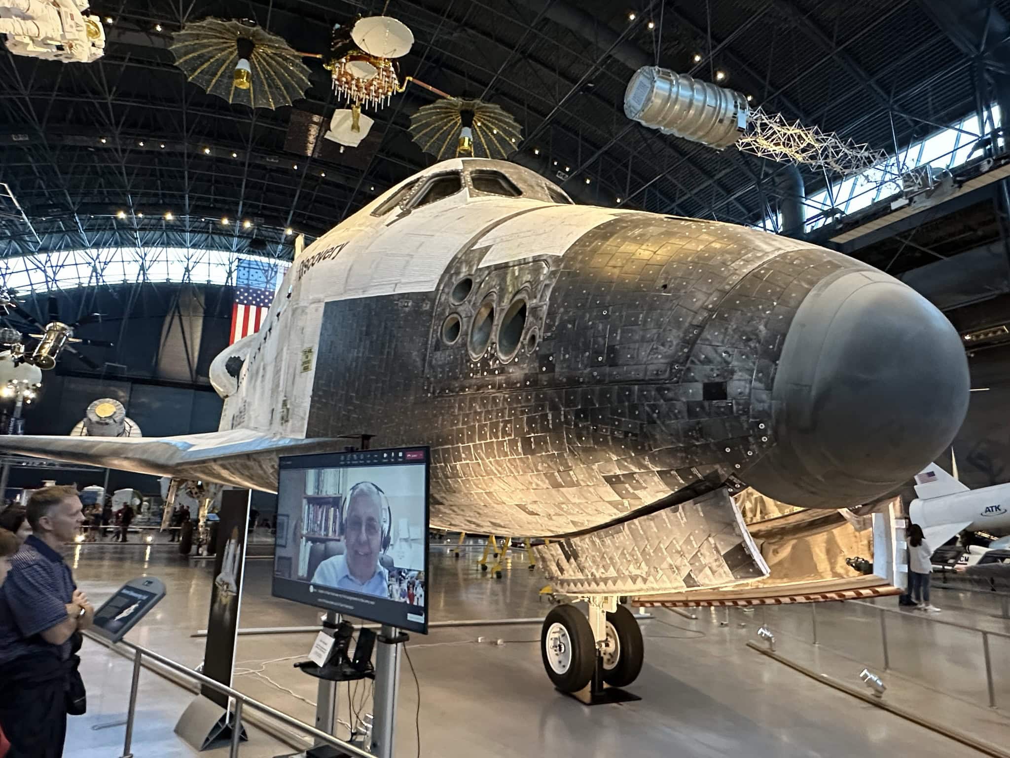
Space Shuttle Photo from back in 2022. Harry J. Kazianis Original Photo.
What Magellan Discovered
Magellan’s radar maps revealed that Venus is dominated by volcanism. More than 85 percent of the surface consists of volcanic plains.
Specifically, Magellan identified thousands of volcanoes, enormous lava channels, shield volcanoes, and unusual “pancake domes.” All of this suggested that Venus experienced catastrophic resurfacing hundreds of millions of years ago.
Scientists were also surprised to discover a surprisingly small number of craters.
Why? Because the dense atmosphere destroys smaller meteoroids before impact, leaving existing craters to appear remarkably fresh.
This suggested a relatively young planetary surface compared with Mercury or the Moon.
And although Magellan could not directly observe eruptions, it revealed geological features consistent with relatively recent volcanic activity.
Later missions built upon Magellan’s findings to suggest Venus may still be volcanically active today.
Before Magellan, scientists had only fragmented radar observations from Earth and limited Soviet mapping.
Magellan created a watershed; after Magellan, scientists had the first global topographic maps, detailed tectonic structures, volcanic distribution, and impact crater catalogs. This revolutionized our understanding of Venusian geology.
Even today, the data remains foundational for current Venus research after three decades.
Curiously, Magellan remains America’s last dedicated Venus mission. Her mission ended when she intentionally crashed into Venus.
How the Mission Ended
NASA flew Magellan into Venus in October 1994 — the first time an operating planetary spacecraft had ever been intentionally crashed. Radio contact lost 12 October, 10:02 UT, on orbit 15,032, batteries nearly gone. It burned up on the 13th or 14th.
In the nearly four decades since Magellan mapped our sister planet, NASA has not launched a dedicated Venus mission.
But the radar maps from Magellan still guide modern mission planning, including the upcoming VERITAS orbiter and ESA’s EnVision mission, both of which will revisit many of the same regions with more advanced instruments.
Perhaps Magellan’s greatest achievement, however, was demonstrating that radar, not visible light, could unlock one of the Solar System’s most inaccessible worlds, giving scientists insights that help inform our understanding of Earth’s own climate challenges.
About the Author: Harrison Kass
Harrison Kass is a writer and attorney focused on national security, technology, and political culture. His work has appeared in Tablet, City Journal, The Hill, The Spectator, and The Cipher Brief. He holds a JD from the University of Oregon and a master’s in Global & Joint Program Studies from NYU. More at harrisonkass.com.